Joyce 2024
AL112024 Advisory Number 14,
DISCLAIMER This is not official information or modeling, I’m just a dude on the internet. Please follow all guidance from NOAA and your local officials.
Windfield Map
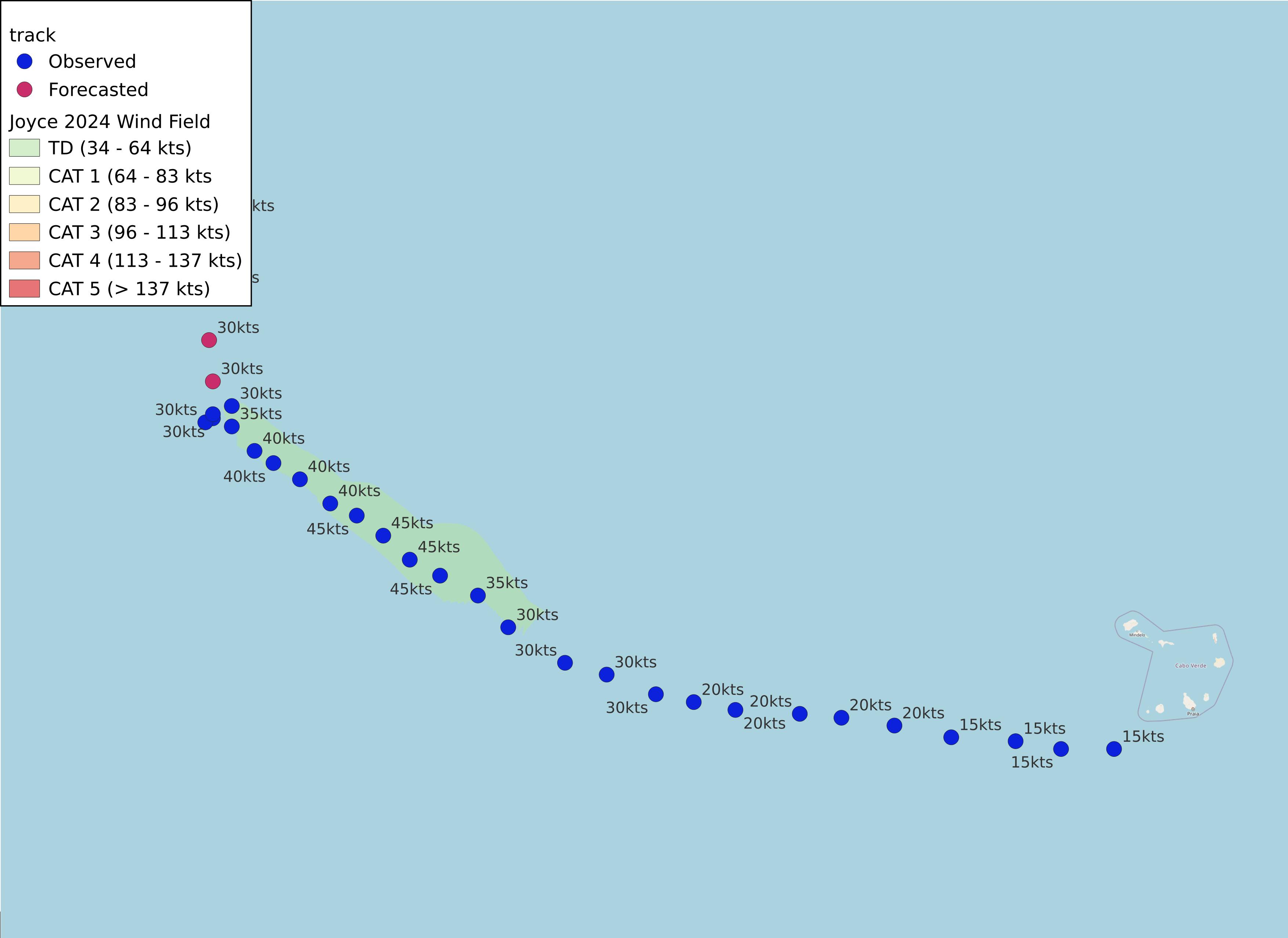
- as of 2024-09-30T21:02:25+00:00
- 100px per degree
- GWAF 0.9
- No Friction
- default radius of maximum wind is 15kts
Useful Links
- NOAA Active Cyclones
- Tropical Tidbits
- https://www.nhc.noaa.gov/text/refresh/MIATCPAT1+shtml/302040.shtml
- https://www.nhc.noaa.gov/refresh/graphics_at1+shtml/143710.shtml?cone
Data Files
File List:
joyce2024_100x100.csvjoyce2024_100x100.pngjoyce2024_100x100.wldjoyce2024_100x100_2024-09-30T210200+0000.jpeg
Official Advisory Discussion
At 500 PM AST (2100 UTC), the center of Tropical Depression Joyce was located near latitude 22.7 North, longitude 48.9 West. The depression is moving toward the north near 2 mph (4 km/h) and a slow northward motion is expected to continue for the next day or two.
Maximum sustained winds are near 35 mph (55 km/h) with higher gusts. Some weakening is forecast during the next 48 hours, and Joyce should become a remnant low soon.
The estimated minimum central pressure is 1006 mb (29.71 inches).
HAZARDS AFFECTING LAND
None.
NEXT ADVISORY
Next complete advisory at 1100 PM AST.
$$ Forecaster Konarik/Blake